* Total number of vascular plant species (including all summit area sections)
**Mean total cover of vascular plants in the 16 1m2 plots
Sierra De La Culata – Páramo De Piedras Blancas (VE-CPB)
Description
The Sierra de La Culata exhibits an abrupt physiography and great altitudinal differences, ranging from 800 to 4760 m asl. This zone is characterized by a relief modeled by Quaternary glaciers. The soils are developed over sediments of glacial and fluvioglacial origin; soils are young and show low stability and are derived from metamorphic / non-volcanic parent material.
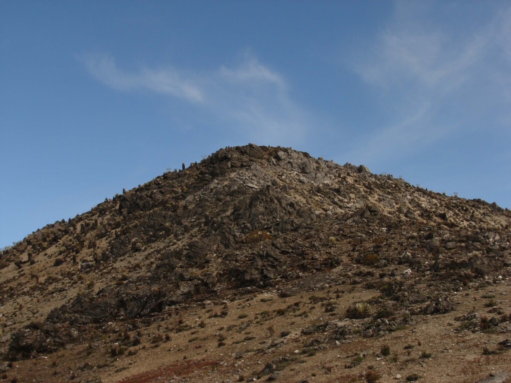
The three peaks of the site are within the high Andean paramo ecological belt (or superparamo). The superparamo is a cold desert formation, with a discontinuous distribution of vegetation and large areas of bare soil. Climatically it is characterized by an equatorial periglacial climate, with daily freeze-thaw cycles on the soil surface. Total annual precipitation values are low (being the driest sector of the páramos in Venezuela), with an annual average of c. 800 mm. The precipitation regime is unimodal, with a dry season that extends between December and March.
Human intervention in the area is restricted to very extensive cattle and horse grazing. The summits at 4200 m and 4400 m are located in the desert paramo unit of the superparamo. In these summits, the physiognomy of the vegetation is characterized by an open rosette páramo, with a high stratum formed almost exclusively by giant rosettes belonging to the Espeletia complex. The 4600 m summit is located in the higher periglacial desert unit of the superpáramo. This plant formation consists of a single herbaceous stratum, which does not exceed 50 cm in height.
The installation of the site began in March 2012 and ended in November of the same year.
Location
The site is located in the Páramo de Piedras Blancas, located in the Sierra de La Culata which together with the Sierra Nevada form the Mérida Range, the most important branch of the Andes in Venezuela (8.812 LN and -71.036 LO).
Summits
Piñango 4200 (PI2, 4207 m snm), Piedras Blancas 4400 (PB4, 4394 m snm), Mordor 4600 (MO6, 4604 m snm)
Responsible Institution:
Instituto de Ciencias Ambientales y Ecológicas – ICAE, Universidad de los Andes
Site coordinator: Luis Daniel Llambí (ldllambi@gmail.com)
Database manager: Lirey Ramirez
Botanist/Taxonomist: Luis Enrique Gamez
Other researchers: Roxibell Pelayo, Carmen Azócar, Jesús E. Torres, Nelson J. Márquez.
Related resources:
Pelayo, R., Llambí, L.D., Gámez, L.E., Torres, J.E., Ramírez L. 2020. Protocolo para el Monitoreo de Fenología y Polinización en Cumbres de la Red Gloria-Andes, Venezuela. Instituto de Ciencias Ambientales y Ecológicas, Universidad de Los Andes – CONDESAN. 11 pp.
Gámez Luis E., Llambí Luis D., Ramírez Lirey, Pelayo Roxibell, Torres J. Eloy, Márquez Nelson, Azócar Carmen, Muriel Priscilla y Cuesta Francisco. 2021. Contribución al Conocimiento de la Vegetación Altoandina: riqueza florística y clave para la identificación de plantas vasculares en cumbres de monitoreo de la red GLORIA-Andes en Venezuela. Pittieria 40

Sierra La Culata – Venezuela Cumbre PB4 (4394 m)
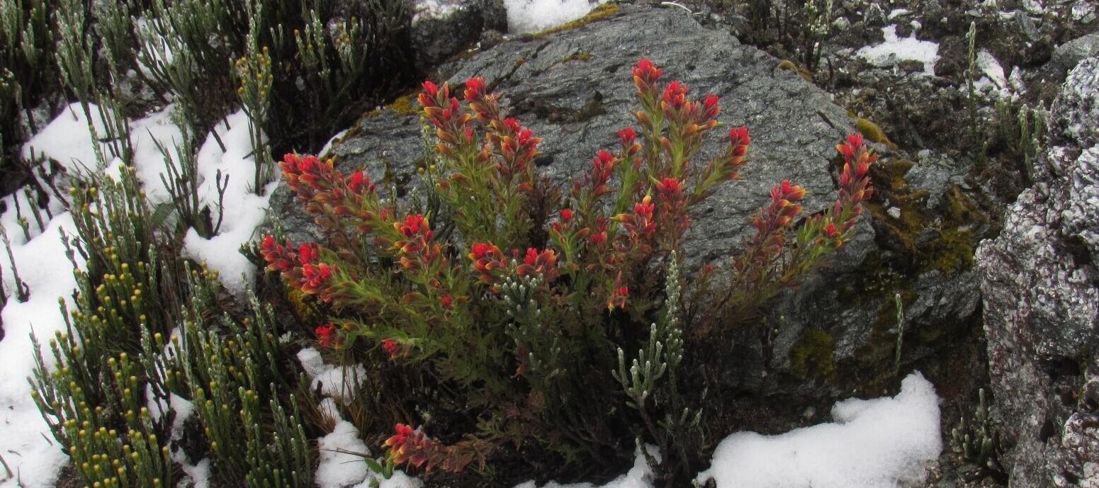
SITE RICHNESS: 71 SPECIES, 53 GENERA, 24 FAMILIES


Soil temperature monthly values (-10 cm) mean, maximum and minimum. Sierra de la Culata, analyzed from temperature data loggers located in each summit as part of GLORIA methods.